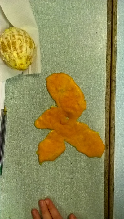
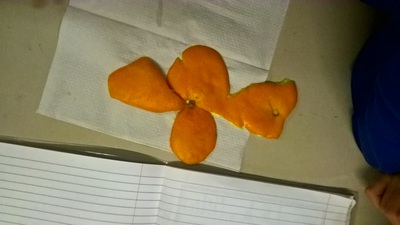
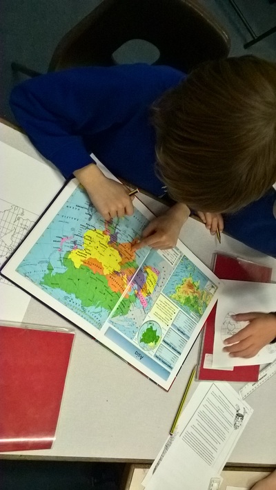
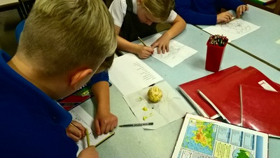
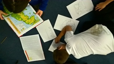
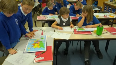
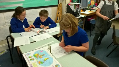
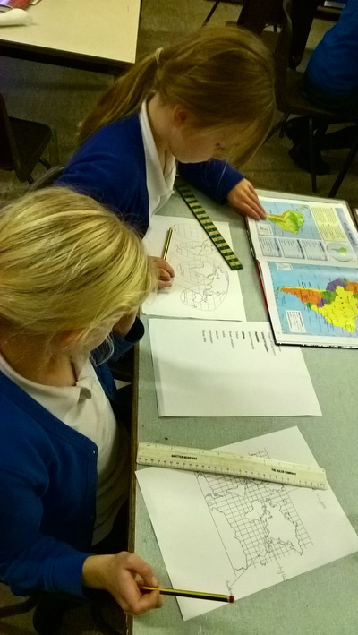
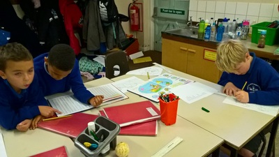
The children had to find places on 4 different maps - the Mercator, Goode, Polar and Peters. Some of the places were really difficult to spot as they were stretched on some maps or squashed on others, and on the Polar map only the top part of the world could be seen! They worked really hard, using atlases to find the shapes or positions of the places and then match them to their maps.
Finally, we talked about how we would feel if Great Britain was made to look much smaller on a map than it actually was, as on some maps the Mercator, for example, Africa and Greenland look a similar size when in fact Africa is much larger.The children decided it wouldn't be very nice as we would feel like we weren't as important as other places in the world!

 RSS Feed
